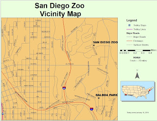
I discovered and tried a few things while doing this exercise. One thing I learned was that the north arrow and scale seemed to only be available in the layout view and were greyed-out in the data view. I also tried to pick a scale that would help me drive to the Zoo from the intersecting interstates.
I wished that I had the skills to be able to seperate the Balboa Park label from my San Diego Zoo label. I wasn't able to figure this out. In the layout view, I wanted to get rid of the red dot that showed up near New York City, but I wasn't able to do this either. Overall with trying these things I learned something and felt more comfortable navigating through the menus, changing the label sizes and working between the data view and layout view.

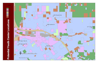
In this exercise, I didn't try too many things except that I made the labels a little larger on the addresses as they seemed too small to read and I changed my symbol of the available buildings to match the symbol shown in the ESRI exercise.

No comments:
Post a Comment